Best Sources For Free Paper Maps for Travel & Crafts
This site contains affiliate links to products or services that I recommend. Any purchases made through these links don’t add anything to your purchase price. It helps me keep the lights on and bring you quality travel tips. As an Amazon Associate, I earn from qualifying purchases. Thanks so much for your support!
Paper maps are slowly being replaced by maps online, but you can still find a good supply of printed maps if you know where to look. Do you prefer to have something of quality that you can hold in your hands? You might be wondering where you can find these paper maps. I thought I’d share a few ideas for the best sources I’ve found for your next road trip, vacation planning, DIY, or craft project.
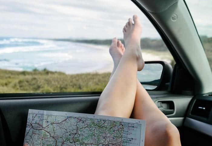
You may think that paper maps are becoming irrelevant for travel, but there are still places in the country and around the world where your phone’s GPS maps won’t work because of poor or non-existent cell reception. Sometimes a printed map is perfect as a backup when your GPS isn’t working. This post provides vital travel tips for finding your way and staying safe on your next road trip, including using paper maps at times.
Free or Low-Cost Paper Maps
If you don’t have a stash of paper maps already on hand for your next trip or DIY craft project you can find them in a variety of places. Remember that someone (possibly your own tax dollars) pays for the printing of these maps. Please be courteous and don’t just grab stacks of them. Be conservative and considerate and only take what you will use right away.
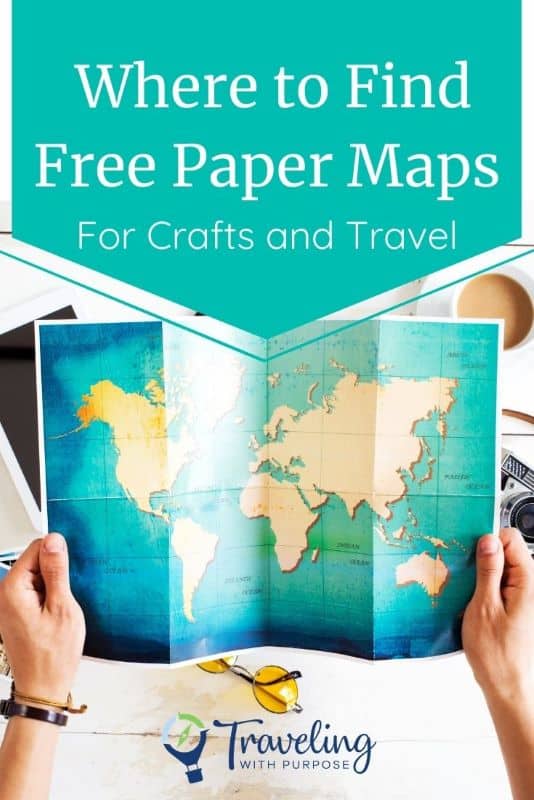
Pick up Free U.S. State, City or Regional Maps
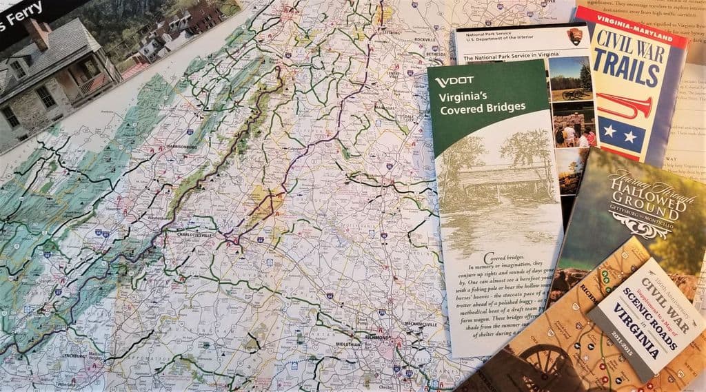
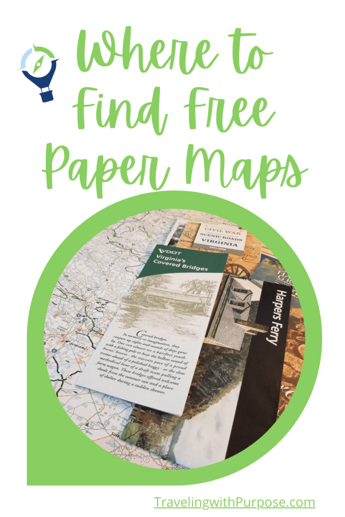
Stop by any state, regional, or local visitor center in the United States and you’ll likely find dozens, if not hundreds of free paper maps and brochures. If it’s the first visitor center you pass after you enter the state, you’ll often find a huge array of maps and info on every region of the state. Then as you travel throughout the state you can usually find smaller, more specific visitor centers for that region, city, or town with more localized information. In nearly every case they’ll have maps for free or at a very reasonable cost.
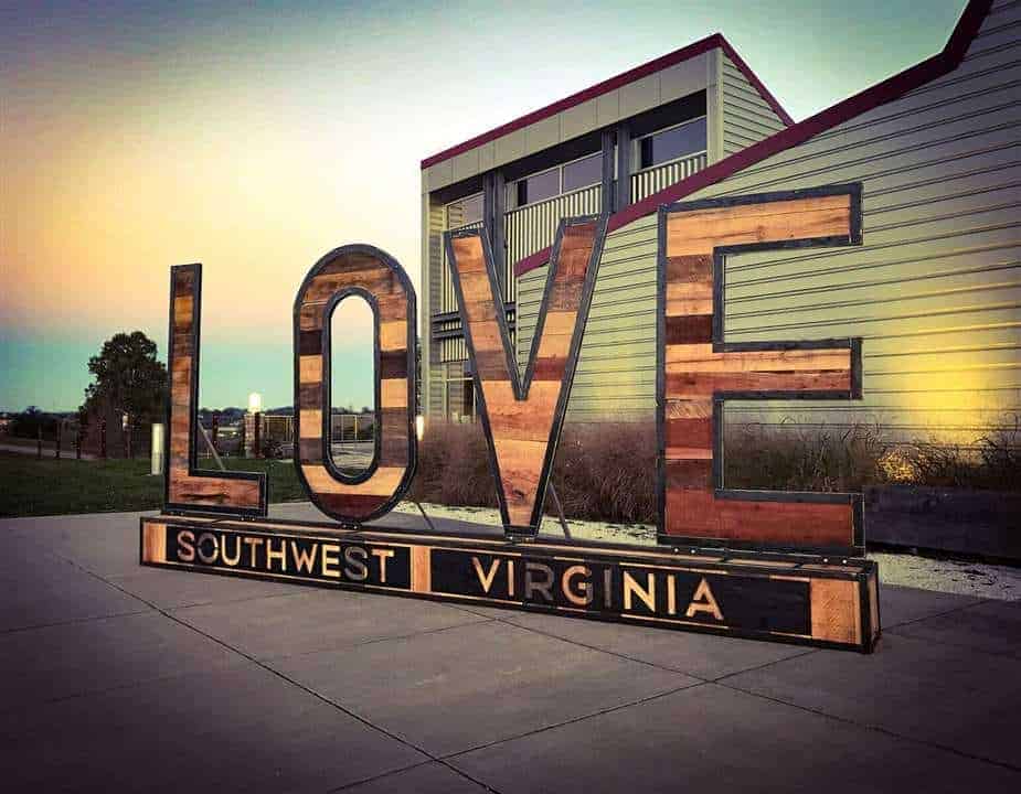
Remember, their business is to help you have a good time in their area and help the local economy, so they’re usually happy to give them away. They’ll sometimes even have topographical, biking, and hiking maps, national and state park maps. I’ve also seen paper maps that highlight a specific theme, like historical sites, winery trails, farms, artists, or whatever people might like to see in the region.
The Fun of Using Paper Maps
Some folks might think you’ve lost your mind if you’re looking for paper maps to use on your next road trip. Our culture has become so dependent on technology, Smartphones, personal computers, Smartwatches and so much more to do our trip planning and navigation. I’m just as guilty as anyone.
If someone asks a question about anything, I’m probably the first person to pull out my phone and look up the answer. My brother, on the other hand, still has an old flip phone with no data service or GPS. He gets around with maps and written directions and he even walks everywhere he can. His life is much slower than most and he likes it that way.
It might be unfathomable for you to imagine managing your trip the old-fashioned way, but I’m here to tell you it IS possible. It takes a bit more time and effort but gives a whole new perspective on travel. You might be surprised at how much more fun you have interacting with humans instead of devices. I recently came across this fun book called “Paper Maps, No Apps – An Unplugged Travel Adventure“. Johnny Welsh offers a creative and hilarious travel memoir that encourages all of us to unplug more than we do now. Check it out. It will give you a good laugh and maybe a new perspective on technology.
Have Maps Mailed to You
Not on the road and can’t get out to a visitor center or tourism office in person? You can find all the U.S. state tourism websites and how to contact them on this helpful page. It looks like it hasn’t been updated in a few years, so some links may not be good, but the majority of them probably are. Oftentimes these Visitors and Travel Bureaus have visitor packets that they mail out. Or look for a phone number, email, or web page where you can request items you’re interested in receiving. As postal and printing rates go up, the promotion of sending paper maps may not be as easy to find, but it never hurts to ask. Remember not to waste tax-payer money (including your own) for shipping, printing, and paper. Only request what you know you’ll be using.
For example: Here’s where you can order a Virginia Travel Guide and Map
Follow Me for the Latest:
If you’re looking for some inspiration for where you might need a paper map for travel planning here are a few of my posts about our road trips. We’ve been on so many that I haven’t had time to write about all of them yet, but if you want to hear about our latest journeys, please sign up for my newsletter above.
Amazon Printed and Wall Maps
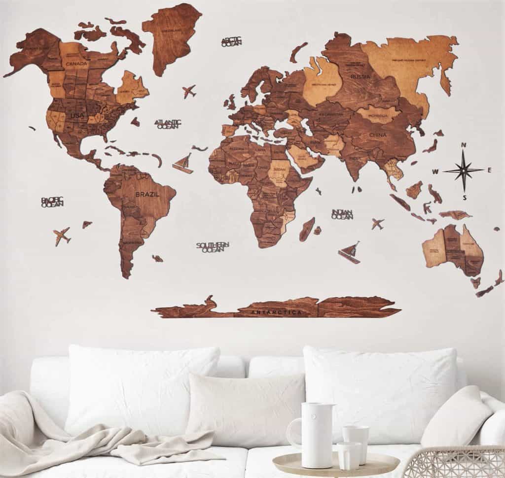
Of course, Amazon will have a huge variety of maps too. You can find anything from individual city, state, country, or world-printed paper maps to gorgeous wall maps, map wallpaper, globes, laminated maps, antique and historical maps, and pretty much anything you can imagine.
Etsy Paper Maps and Craft Maps
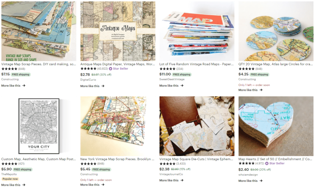
If you still haven’t been able to find exactly what you want Etsy is filled with all kinds of options for printed vintage, antique, and modern maps. Some will be authentic and others reproductions. You may even find maps already cut in circles or hearts for your next project. If you’re using them for a craft project, a reproduction is probably your most cost-effective option. There’s no need to pay for an original map if you’re just going to cut it up. Besides, you won’t have to deal with any fold marks.
USGS and Federal Land Maps
Have you ever heard of the USGS? The United States Geological Survey is a science bureau within the United States Department of the Interior. These scientists research and provide vital information about the natural hazards that threaten the lives and livelihoods of the American people and the world.
One of the services that the USGS provides on their website is maps of each U.S. National Forest and Grassland. You can search for these maps by the state they’re in or by name here. These U.S. Forest Service Visitor maps aren’t free, but they offer information on attractions, facilities, services, and opportunities within each National Forest or Grassland.
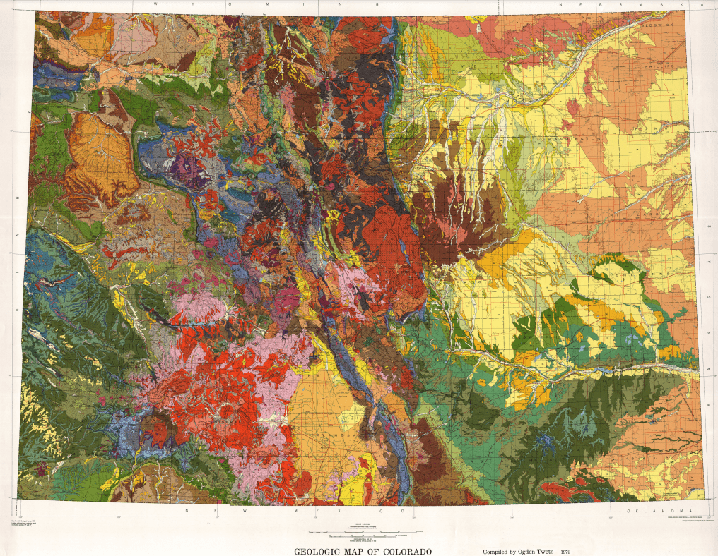
The USGS also offers a wide variety of other maps in different formats for scientific, educational, or personal interests. Some are downloadable as a PDF (often free), and some are printed maps on paper and can be ordered to be mailed to you. Below is a list of some of the various types of maps you’ll find there. I can’t list them all because there are so many different kinds. BONUS: Educational institutions can receive discounts up to 50% on qualifying USGS products too!
Antarctica Maps, County Maps, Geologic Maps, Hazard Maps, Historical Maps, Hydrologic Maps, National Atlas Maps, National Parks Maps, Planets and Moon Maps, State Maps, Topographical Maps, Satellite Maps, and World Maps.
If you love maps, science, beauty, or just enjoy learning, I can guarantee that you’ll spend hours on this site exploring all the interesting information, educational materials, and maps available there. The colorful Colorado Geologic Map above is just one example of the gorgeous maps you’ll find that turn science into art. Have fun exploring!
International Paper Maps
If you’re based in the U.S. and are looking for maps from other countries, many of them have tourism offices in the United States. This link goes to a list of foreign countries/destinations and regions and their tourist information offices within the United States. Where available, the address, phone number, and website of each are included. If the country doesn’t have a tourism office in America, the embassy or consulate address and tourism board website are provided (if there is a website).
Check Yard Sales, Thrift Stores, Antique Shops, Libraries, Used Bookstores
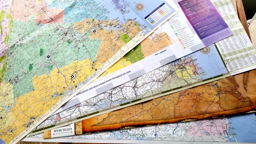
Prices will vary greatly in these venues depending on whether the seller understands the value of the printed map. You can sometimes find stacks of road maps at yard sales and they’ll pretty much pay you to take them off their hands. Antique shops could be another story as far as price, but you never know what treasures you’ll find there for a reasonable price if you want to negotiate with the seller.
Libraries often sell outdated books for $1 each at their book sales. You could find old Atlas books that are no longer accurate with hundreds of pages of maps. Used bookstores are another great source for maps and atlases and their prices are generally very reasonable.
Some used bookstores will even allow you to trade or sell some of your own books in exchange for their products. As a side note, these are also awesome places to find vintage or antique postcards. They make excellent DIY and craft projects for travel lovers too.
American Automobile Association – AAA Paper Maps
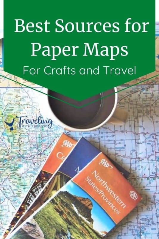
If you or someone you know is a member of AAA in the U.S. you (or they) can pick up a current state map, map of the U.S., or various regional and city maps for FREE. Some international maps are available for free as well. All you have to do is stop by an office and show them your AAA membership card. The selection at each branch will vary and they will generally have more detailed maps for their region. If you’re visiting the other side of the country stop in a AAA office and pick up more specific maps for that area. These free printed maps are part of the benefit of being a paid member. You may also be able to download and print some maps from their website here.
Mapbox Custom Maps
If you still haven’t found the perfect printed map for your purposes check out “Mapbox Studio” online. This map creation tool is available online and through iOS and Android apps for your phone.
“Mapbox Studio is like Photoshop, for maps. We give designers control over everything from colors and fonts to 3D features and camera angles, to the pitch of the map as a car enters a turn.”
Mapbox Studio
As a Mapbox user, you can create precisely the map you want, and then print out the static map yourself. You can also send it to your local printer for higher quality or large-format color printing. The possibilities are endless.
Re-Use Maps for DIY and Upcycled Crafts
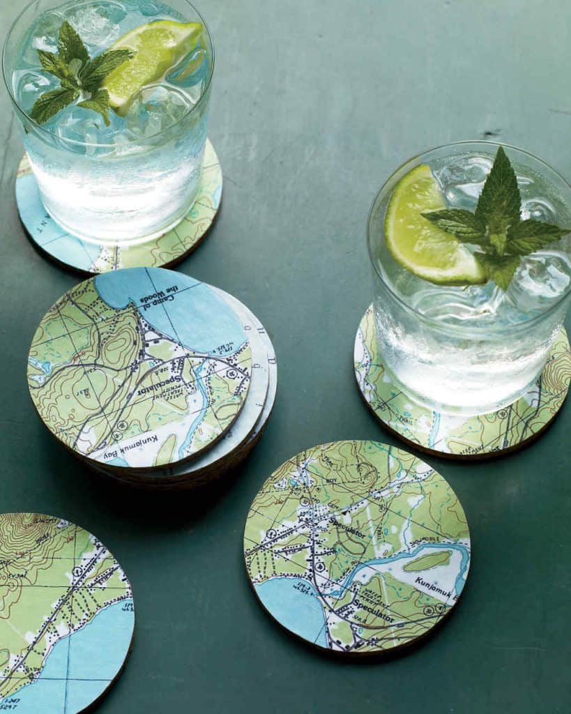
I’ve shared a few ideas in the past about creating fun DIY crafts and gifts using printed and paper maps or recycling maps as wrapping paper. These make perfect personalized items for yourself or gifts for your favorite travel lover. You can customize the project with maps from beloved places. And the best news is that you’re helping the environment by reusing paper that might otherwise end up in a landfill.
Booking your trip? Here are some of the resources I use myself:
-Book great deals on flights with Cheap-o-Air
-Discover cool lodging with Booking.com
-Find the best prices and perks for cruises at CruiseDirect.com
-Reserve your vacation home rental with VRBO
-Book your car rental with RentalCars.com
-Buy your travel insurance with InsureMyTrip
-Book unique travel tours with Get Your Guide and Viator
-Find delicious culinary experiences with EatWith
-Find even more of my favorite travel resources here.
When you use these links I earn a small commission, at no extra cost to you. This helps me pay the bills and allows me to continue to create and share free tips and advice to help you travel better. As an Amazon Associate I earn from qualifying purchases.
Personalized Map DIY Table Project
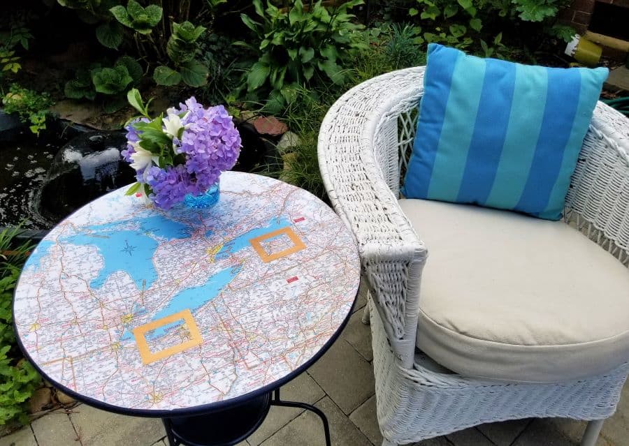
I recently used free printed maps to make two upcycled Ikea tables highlighting places where my husband and I have lived. It was a lot of fun, easy, and it really spruced up a couple of dingy-looking tables that were still usable. This is just one of endless ideas on how to use maps in your craft projects.
Do you have a great source for free or low-cost maps that I’m missing? Have you used maps for a DIY, craft, or upcycled project? Send me a message. I’d love to hear about it.
